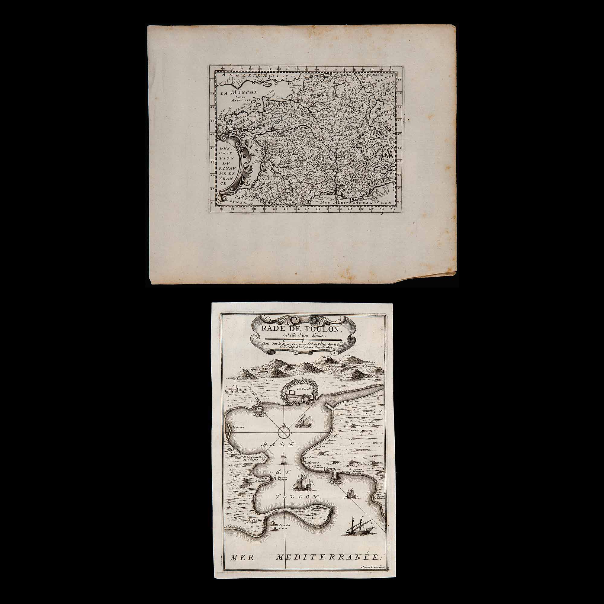
• Background Image

    Lot 163 – Two French maps, late 17th century

    June 20, 2022

Lot 163 – Two French maps, late 17th century

Starting price:


Lot 163 – Two French maps, late 17th century

Current Auction: N. 17 
AMERICAN DESIGN & EUROPEAN GRAPHICS
( Rome, July 06-07, 2022 - 5:00 P.M. CEST )

Explore this Auction

Description

Engravings on watermarked laid paper, bearing on cartouches the following inscriptions: ‘Description du royaume de France’ and ‘Rade de Toulon – Echelle d’une lieiie. In Paris chez le s.r De Fer dans I’lsle du Palais sur le quay de l’Orloge ? la Sphere Royale 1695’; the last one signed at the bottom of the page by ‘H. van Loon fecit’, flaws present, unframed. Copper engraving, dimensions 9.8×11.8 and 10.6×7 in.

Reviews

There are no reviews yet.

Be the first to review “Lot 163 – Two French maps, late 17th century”

Your email address will not be published. Required fields are marked *

ABSENTEE BID FORM


    *Required fields

    Lot 161 – Merian Matthaus the Elder (Basilea, 1593 – Bad Schwalbach 1650), ‘Carta geografica raffigurante la citt? di Prevesa e parte della Grecia’, Germany first half of the 16th century
    Starting price:

    Engraving on laid paper, inscription in the cartouche at top right ‘Die stadt Prevesa und…

    Lot 164 – Jacques Ayrouard (active 1730 – 50), Plan du port Hercule, first half of the 18th century
    Starting price:

    Engraving on laid paper taken from the rare nautical atlas ‘Collection of various plans of…

    Previous Next
    Close
    Test Caption
    Test Description goes like this